
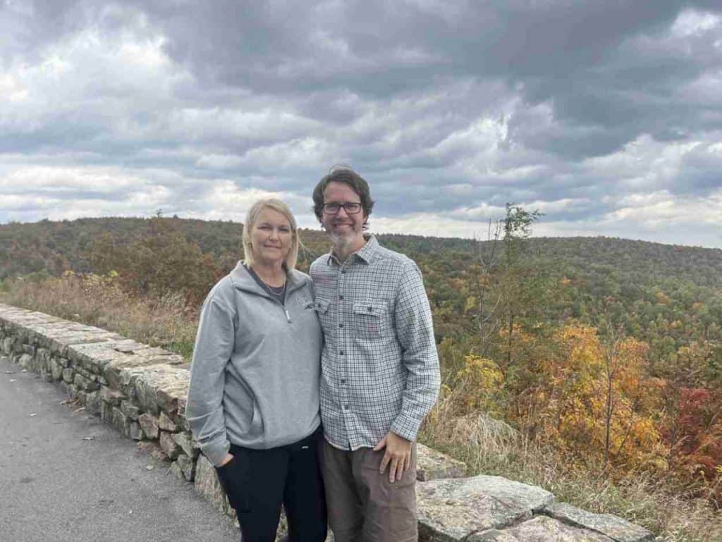
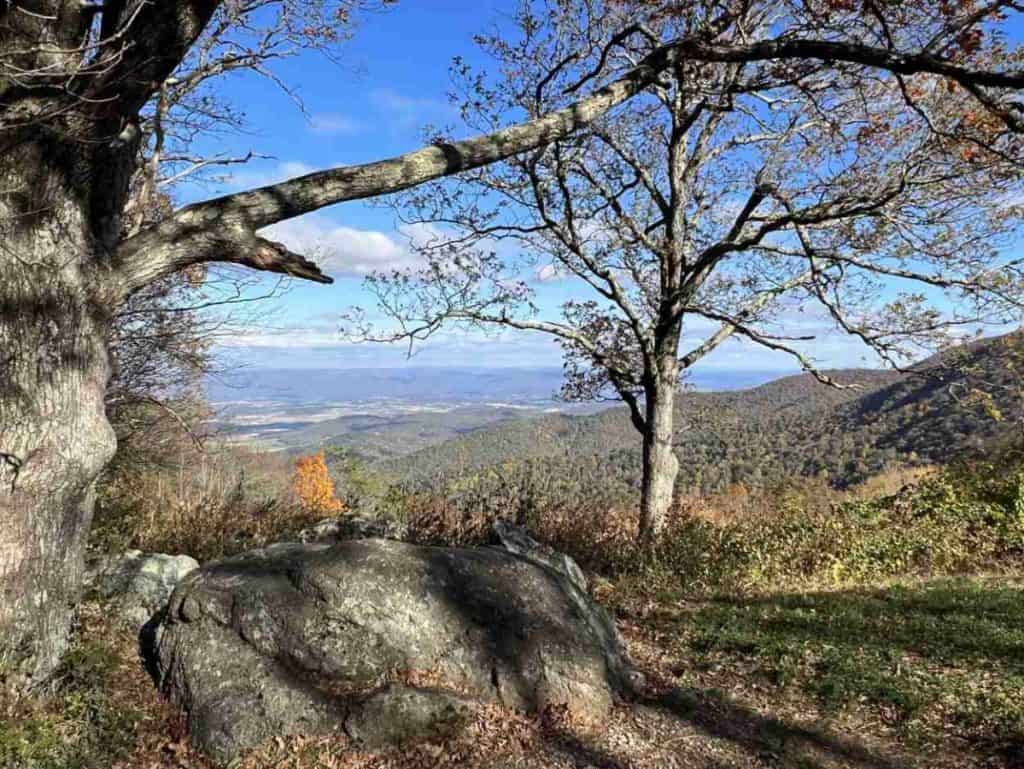
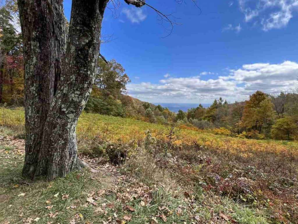
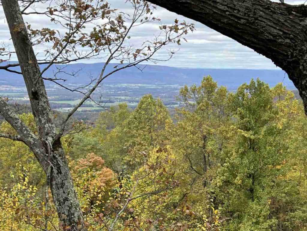
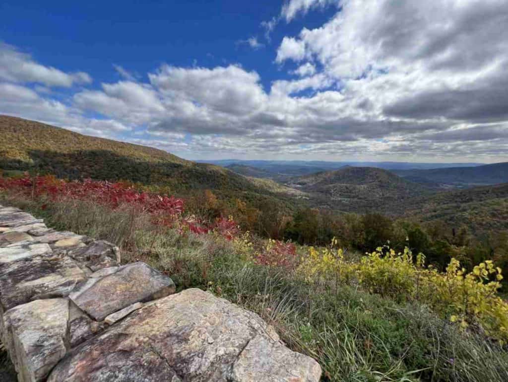
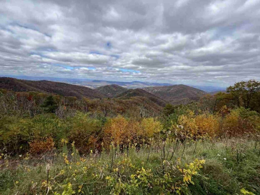
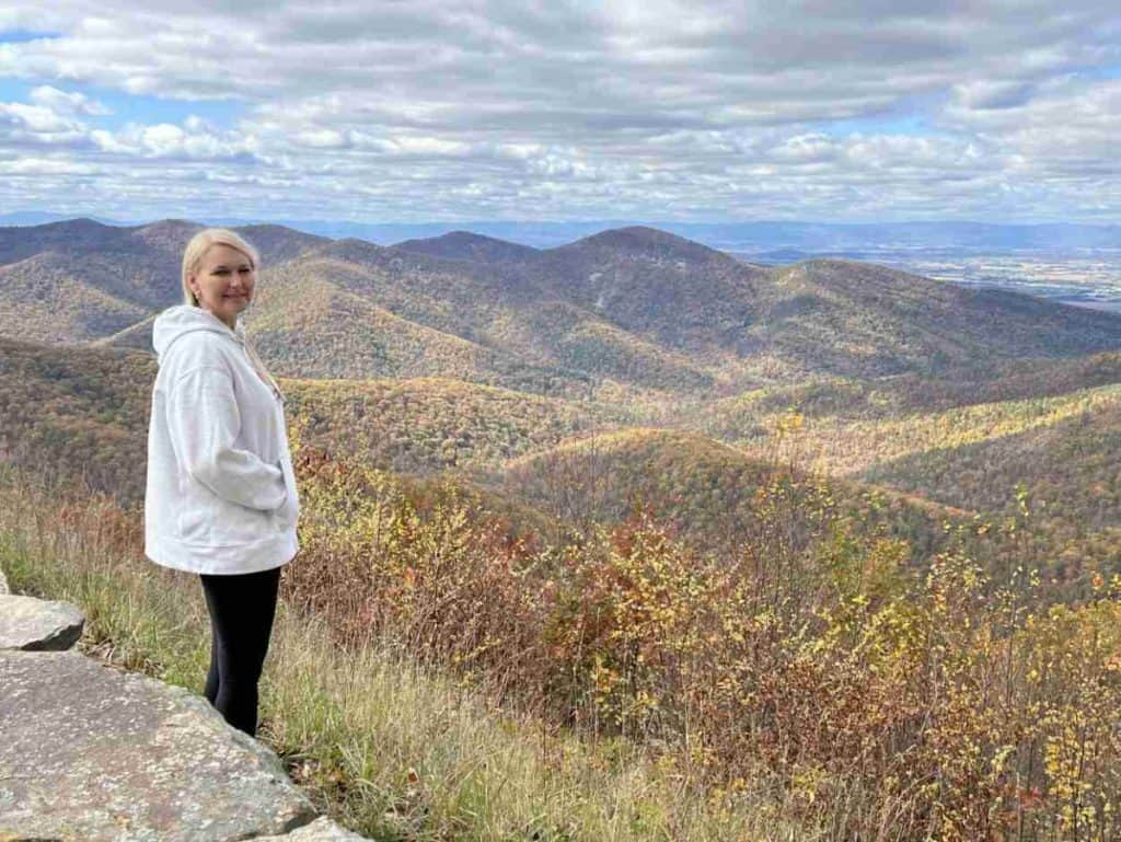
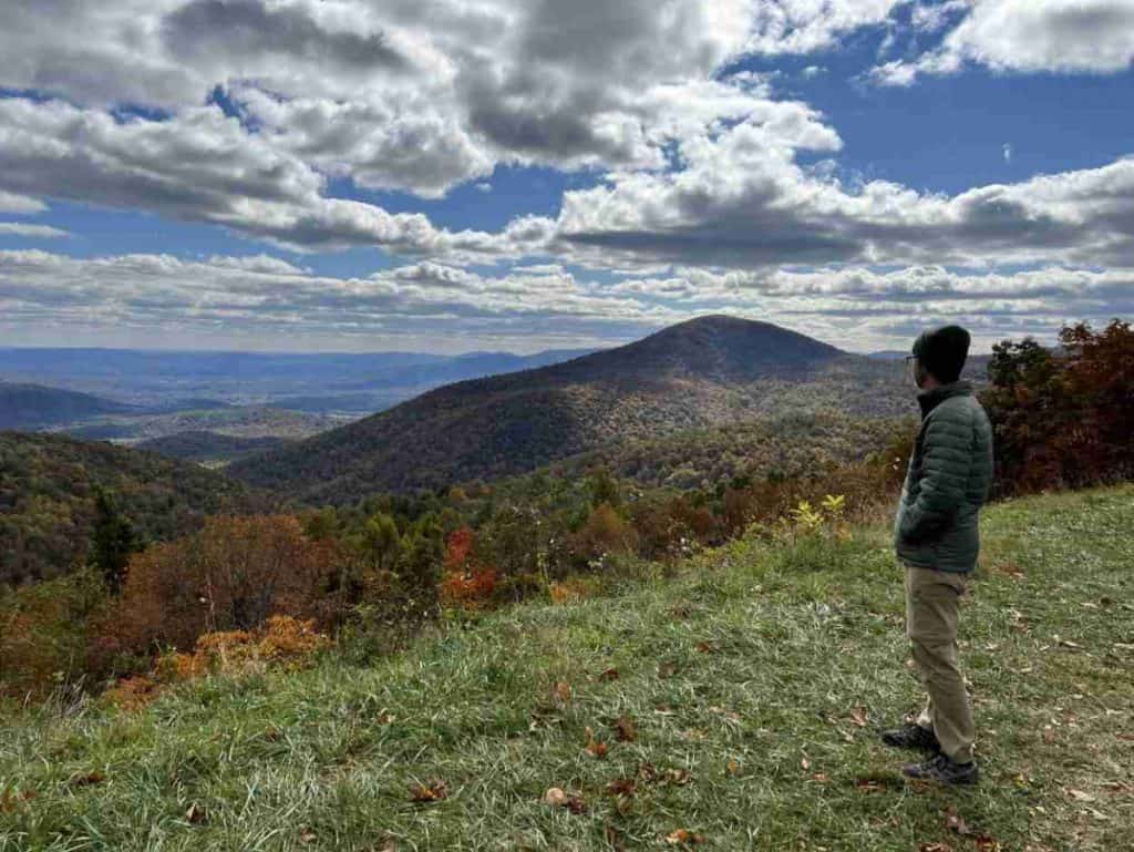
Julie and I realized our dream last fall when we embarked on a scenic drive through Shenandoah National Park and the Blue Ridge Mountains. The route offers breathtaking views and many places to explore along the way. We will outline 26 wonderful overlooks on Skyline Drive to check out on your visit.
Before we jump into the overlooks, let’s cover what you need to know about the park.
Disclosure: This post may contain affiliate links. If you make a purchase through one of these links, I may earn a small commission at no additional cost to you. Thanks for keeping Miles with McConkey going!
Skyline Drive
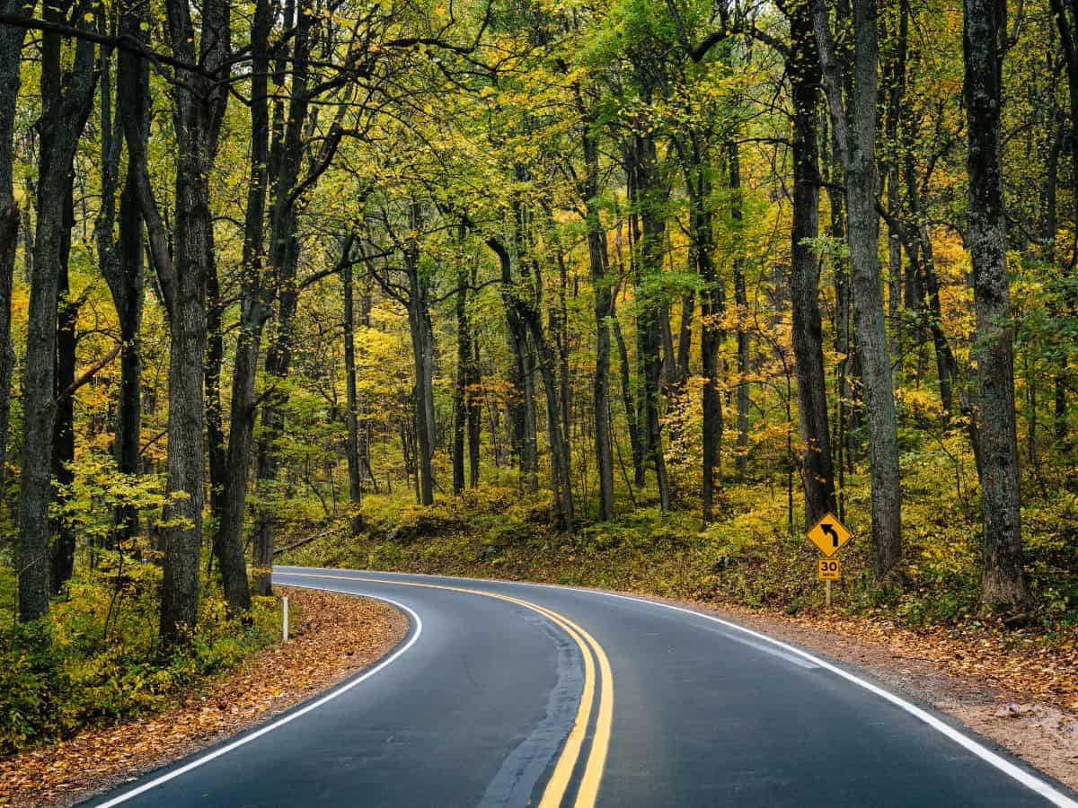
The iconic Skyline Drive spans 105 miles, the entire length of Shenandoah National Park. It is the only public road in the park.
For most of your drive, you will wind through Shenandoah Valley and the Blue Ridge Mountains at a leisurely pace of 35 miles per hour. It is a refreshing change from our everyday stressful lives.
Although the road offers surreal mountain vistas beyond its shoulders painted with wildflowers, the curves can be narrow and dangerous in spots.
Animals can dart across the road without notice. Julie and I encountered many deer in the park, on hiking trails, and on Skyline Drive.
The speed limit is set low for our safety. Enjoy the drive and savor the views.
Operating Hours & Seasons
Shenandoah National Park is open year-round. Portions of Skyline Drive may close during times of inclement weather. You can enter the park on foot when Skyline Drive is closed.
Most facilities within the park open sometime in March and close in late November. Visit the Shenandoah National Park site to verify current conditions and closures.
Entrance Fees
The park entrance fee is $30 per car and covers you and all passengers for seven consecutive days. A single motorcycle rider can enter the park for $25, while walk-up visitors and bicyclists will each pay $15.
A Shenandoah National Park annual pass costs $55. America the Beautiful annual passes are valid at all our national parks and cost $80.
Skyline Drive Mile Markers
Shenandoah National Park uses mile markers on Skyline Drive to specify points of interest, including park entrances, visitor centers, trailheads, and overlooks. We found the system perfect for finding our way around.
Shenandoah National Park Entrances
There are four entrance stations to Shenandoah National Park along Skyline Drive:
- Front Royal – Mile 0
- Thornton Gap – Mile 31.5
- Swift Run Gap – Mile 65.5
- Rockfish Gap – Mile 104.6
Skyline Drive merges with Blue Ridge Parkway at the southern end of Shenandoah National Park. Blue Ridge Parkway runs 469 miles through Virginia and North Carolina, eventually connecting to the Great Smoky Mountains National Park.
Districts
The park consists of three regions or districts:
- North District: Primary areas include Dickey Ridge and Mathews Arm.
- Central District: Main sections are Skyland and Big Meadows.
- South District: Primary area is Loft Mountain.
Each region spans roughly 30 to 40 miles along Skyline Drive.
Shenandoah Visitor Center
The national park has two visitor centers:
- Dickey Ridge Visitor Center – Mile 4.6, near Front Royal.
- Byrd Visitor Center – Mile 51, across from Big Meadows.
The visitor centers provide brochures, maps, a bookstore, and restrooms. It is an excellent opportunity to consult a park ranger for itinerary suggestions.
Shenandoah National Park provides a unique service, a mobile visitor center. Park rangers can travel to different locations along Skyline Drive, offering assistance and showcasing exhibits.
Skyline Drive Hikes
Shenandoah National Park offers more than 500 miles of trails, including a 101-mile portion of the Appalachian Trail. Many hikes provide an excellent opportunity to trek part of the iconic trail. Check out our guide to easy hikes in Shenandoah National Park.
Shenandoah National Park Picnic Areas
There is something about enjoying a picnic with a scenic view. It is one of the areas where Shenandoah National Park shines. You can find picnic grounds at:
- Dickey Ridge – Mile 4.6
- Elkwallow – Mile 24.1
- Pinnacles – Mile 36.7
- Big Meadows – Mile 51.2
- Lewis Mountain – Mile 57.5
- South River – Mile 62.8
- Dundo – Mile 83.7
The park provides accessible sites and charcoal grills at all picnic grounds.
Frequently Asked Questions (FAQ)
We will answer some of the most frequently asked questions about Skyline Drive and Shenandoah National Park.
How long does it take to drive Skyline Drive?
Driving from one end to the other on a clear day takes about three hours. It can take considerably longer if you pull over at more than a few overlooks or take a hike.
How many days do you need to see Shenandoah National Park?
You can drive through the park in a half-day, stopping at a few overlooks along the journey. If you want to explore a few areas or take short hikes, we recommend two or three days.
When is the best time to drive Skyline Drive?
We found the road far less crowded early in the morning. If your goal is to take pictures, the early morning sun shines in your eyes at east-facing overlooks and casts long shadows at west-facing viewpoints.
Conditions for photos improve around 10:00 am. Unfortunately, crowds usually start picking up around that time as well.
What is the best season to drive Skyline Drive?
Each season brings a different view and is beautiful in its way. Spring fills the park with beautiful wildflowers, mountain laurels, and gushing waterfalls. Summer decks the entire valley in bold greens, but dry spells can drain the falls.
Autumn is gorgeous, painting the hills with brilliant strokes of gold, orange, and red. It is also the busiest season for Skyline Drive. Go on a weekday and start early in the morning.
Winter can cover the area in a white blanket but may cause dangerous driving conditions or road closures.
Autumn is my favorite time of year, so that is my first choice. My second choice is spring since I love flowers and waterfalls. The bottom line is that Skyline Drive is beautiful no matter the season.
What is the highest point on Skyline Drive?
The northern entrance to Skyland, Mile 41.7, is the highest point on Skyline Drive at 3,680 feet. Thorofare Mountain Overlook, Mile 40.4, is the highest overlook at 3,595 feet.
Hawksbill Summit is the highest point in the park at 4,050 feet. It can be accessed from three different trails starting at either Mile 45.5 or 46.5.
How many tunnels are on Skyline Drive?
Surprisingly, the famous road only contains one tunnel. You can find Mary’s Rock Tunnel at Mile 32.2. The height of the beautiful tunnel is 12’8″.
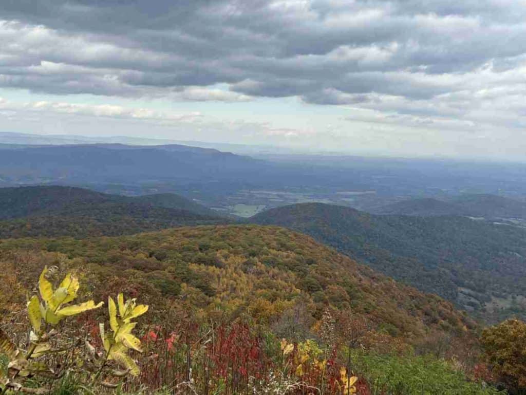
Skyline Drive Overlooks
Shenandoah National Park offers a stunning 75 scenic overlooks along Skyline Drive. You can stop at each lookout, but it takes time. Here are 26 that we recommend.
Dickey Ridge Visitor Center

- Location: Mile 4.6
- Elevation: 1,940 feet
After obtaining your park map and information, walk through the visitor center’s back door for a sweeping valleyvista. It is merely a precursor of what is to come.
Indian Run Overlook
- Location: Mile 10.8
- Elevation: 2,400 feet
You will peer over a lovely forested ridge formed by erosion from a stream named Indian Run.
Browntown Valley Overlook

- Location: Mile 14.9
- Elevation: 2,890 feet
Nestled between the mountains, you will find a quiet community once an industrial center.
Range View Overlook

- Location: Mile 17.1
- Elevation: 2,810 feet
You have a fantastic view that includes Keyser Mountain, Old Rag, and Stony Man Mountain.
Mount Marshall Overlook

- Location: Mile 19
- Elevation: 2,850 feet
The lookout delivers a view of the Piedmont region. John Marshall, former Chief Justice of the Supreme Court once owned the land around Mount Marshall.
Little Hogback Overlook

- Location: Mile 19.7
- Elevation: 3,035 feet
The Appalachian Trail runs below the lookout, which reveals Massanutten Mountain in the distance.
Hogback Overlook
- Location: Mile 20.9
- Elevation: 3,385 feet
At 0.2 miles, Hogback Overlook is the longest overlook in the park. You can see Gimlet Ridge and Mathews Arm from here.
Jeremys Run Overlook

- Location: Mile 26.3
- Elevation: 2,410 feet
You can see the hollow carved between Neighbor Mountain and Knob Mountain by Jeremys Run. Known as a lovely hiking area, Jeremys Run is accessible by Elkwallow Picnic Area.
Pass Mountain Overlook

- Location: Mile 30
- Elevation: 2,460 feet
You can faintly make out the town of Luray in the distance while Kemp Hollow and Neighbor Mountain are in the foreground. A short trail loop runs through the area as well.
Tunnel Parking Overlook
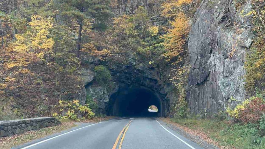
- Location: Mile 32.5
- Elevation: 2,840 feet
The Tunnel Parking Overlook allows you to gaze over the valley, but the real intent is to provide a safe parking area for visitors to look at Mary’s Rock Tunnel. It is over 600 feet long and the only vehicular tunnel on Skyline Drive.
Hazel Mountain Overlook
- Location: Mile 33
- Elevation: 2,770 feet
You will find a granodiorite rock formation near the overlook, with Buck Ridge and Hazel Mountain on the horizon. Granodiorite makes up the base of the Blue Ridge Mountains and forms miles under the ground.
Pinnacles Overlook

- Location: Mile 35
- Elevation: 3,320 feet
Old Rag looms in the distance, with Hot Mountain on your left and Pinnacle Ridge on the right.
Jewell Hollow Overlook
- Location: Mile 36.4
- Elevation: 3,320 feet
Morning Star Lakes sits on your left in the distance, and Jewell Hollow runs between the closer mountain ridges.
Thorofare Mountain Overlook
- Location: Mile 40.4
- Elevation: 3,595 feet
You can see Thorofare Mountain straight ahead while standing on the highest overlook in the park.
Spitler Knoll Overlook
- Location: Mile 48
- Elevation: 3,285 feet
Before Shenandoah National Park existed, Spitler Ranch contained grazing cattle and other livestock.
Fishers Gap Overlook
- Location: Mile 49.3
- Elevation: 3,070 feet
You can faintly see New Market Gap, the site of the Confederate Army’s last victory in the Shenandoah Valley during the Civil War.
South River Overlook
- Location: Mile 62.4
- Elevation: 2,950 feet
You will find Saddleback Mountain on the distant horizon. In summer, the field brightens the landscape with colorful wildflowers.
Hensley Hollow Overlook
- Location: Mile 64.1
- Elevation: 2,560 feet
You have a view of Hensley Ridge and Lick Ridge. The town of Elkton lies beyond Hensley Ridge.
Bacon Hollow Overlook

- Location: Mile 68.9
- Elevation: 2,450 feet
Behind Bacon Hollow lies Piedmont, Virginia’s central region between the Blue Ridge Mountains and the Coastal Plain.
Rocky Mount Overlook

- Location: Mile 70.8
- Elevation: 2,450 feet
The second-largest forest fire in Shenandoah National Park’s history occurred in Rocky Mount. Over 10,000 acres burned in 2016.
Loft Mountain Overlook
- Location: Mile 74
- Elevation: 2,450 feet
Straight ahead, you will find County Line Mountain, the boundary between Greene and Albemarle Counties.
Two Mile Run Overlook
- Location: Mile 75.9
- Elevation: 2,770 feet
The Rocky Mount fire of 2016 quickly spread through the area due to dry conditions and high winds.
Rocky Top Overlook
- Location: Mile 77.8
- Elevation: 2,860 feet
The vista captures Rocky Top, not to be confused with the eastern Tennessee city.
Big Run Overlook

- Location: Mile 80.8
- Elevation: 2,860 feet
It is a fantastic vantage point with forested ridges through the mountains. The Big Run Loop Trail is excellent if you enjoy nature’s solitude.
Doyles River Overlook
- Location: Mile 81.6
- Elevation: 2,870 feet
The gorgeous panorama reveals Little Flat Mountain, High Top Mountain, and Cedar Mountain.
Trayfoot Mountain Overlook

- Location: Mile 86.4
- Elevation: 2,575 feet
Your view includes Cedar, Fox, Pasture Fence, and Trayfoot Mountains. At the top of the overlook, you will discover trees with an abundance of cones.
Enjoy the Overlooks on Skyline Drive
Skyline Drive gently weaves for 105 miles through the Blue Ridge Mountains, providing 75 overlooks with scenic vistas. A leisurely drive is just what the doctor ordered.
Featured image credit: appalachianview via Deposit Photos